Journal of Geography and Environmental Hazards

Journal of Geography and Environmental Hazards

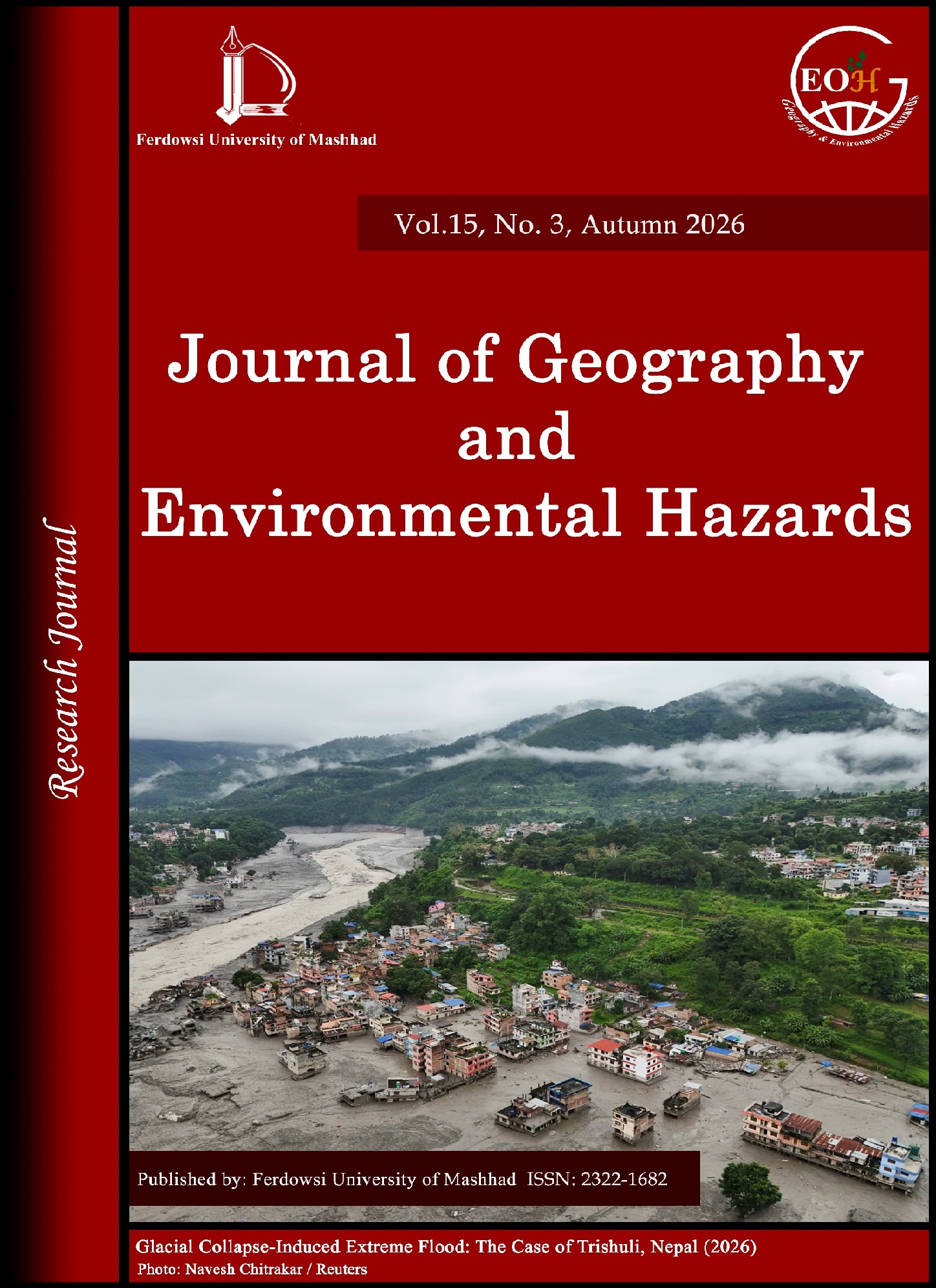
The Journal of "Geography and Environmental Hazards" was established in response to the increasing trend of environmental hazards caused by global warming, population growth, and industrial development, as well as the high degree of geographical risk of Iran. This journal is the first scientific-research publication in Iran to highlight the critical issue of environmental hazards. It aims to publish research findings related to the geographical distribution and causes of hazards, as well as strategies for management and planning to reduce the impacts of natural disasters and prevent technological hazards.

Current Issue: Volume 15, Issue 3 - Serial Number 59, Summer 2026, Pages 1-276 

Keywords Cloud

  • Iran
  • Climate change
  • Flood
  • Earthquake
  • GIS
  • Landslide
  • drought
  • Remote sensing
  • Resilience
  • Air Pollution
  • land use
  • Vulnerability
  • Precipitation
  • AHP
  • MODIS
  • zoning
  • Environmental hazards
  • Spatial Analysis
  • Modeling
  • Synoptic Analysis
  • natural hazards
  • Land use change
  • Mashhad
  • land subsidence
  • Machine learning
  • land use changes
  • Markov chain
  • Tehran
  • dust storm
  • Dust
  • Soil Erosion
  • subsidence
  • Trend
  • Crisis Management
  • synoptic
  • Cluster analysis
  • Fuzzy logic
  • Northwest of Iran
  • zonation
  • Social Resilience
  • Geomorphology
  • Risk Assessment
  • HEC-RAS model
  • Physical resilience
  • Lake Urmia
  • Environment
  • synoptic patterns
  • Erosion
  • extreme precipitation
  • Dust Storms
  • Kermanshah
  • Active Tectonics
  • Risk Management
  • Synoptic climatology
  • Urban Resilience
  • Kriging
  • Maximum temperature
  • Random Forest (RF)
  • Geographic Information System (GIS)
  • Ilam
  • Thunderstorm
  • Downscaling
  • Artificial neural network
  • Hydrological modeling
  • economic resilience
  • RCP scenarios
  • heavy precipitation
  • Site Selection
  • Northwest Iran
  • Landfill
  • Land surface temperature
  • Hazards
  • desertification
  • HYSPLIT model
  • Land degradation
  • Tectonic
  • ANP
  • Aerosol Optical Depth (AOD)
  • Groundwater depletion
  • Groundwater
  • Landslide Susceptibility
  • Geographic Information System
  • Flood hazard mapping
  • water resources management
  • SWAT Model
  • morphology
  • District 10 of Tehran
  • Sustainable development
  • Landscape Metrics
  • Ilam Province
  • Covid-19
  • Geostatistics
  • location
  • Flood risk assessment
  • Mazandaran
  • XRD
  • Mineralogy
  • Network analysis
  • heavy rainfall
  • Mann-Kendall test
  • Ardabil
  • Factor analysis
  • Neotectonics
  • Tabriz Metropolis
  • intensity
  • Kermanshah Province
  • Crisis
  • Landsat
  • passive defense
  • LARS-WG
  • Precipitation trends
  • Fire
  • blocking
  • relocation
  • MCDM
  • Carbon monoxide
  • Morphotectonic
  • Pollution
  • Middle East
  • CMIP6
  • Urmia
  • Environmental Management
  • Flood Risk
  • Environmental Hazard
  • Shahdad
  • Flood zoning
  • Forecast
  • Biodiversity
  • Watershed Management
  • Evaluation
  • West of Iran
  • Heat waves
  • Active Faults
  • Object-Oriented Classification
  • runoff
  • temperature
  • Tabriz
  • Risk
  • Vulnerability assessment
  • Logistic Regression
  • ROC curve
  • Risk perception
  • extreme precipitation events
  • Atmospheric hazards
  • Natural resources
  • Fuzzy
  • heat Islands
  • TOPSIS
  • Uncertainty
  • rural settlements
  • Heavy metals
  • SPI index
  • Ecosystem services
  • Gilan province
  • Air quality
  • Peak discharge
  • Satellite image
  • AOD
  • climate
  • Sanandaj
  • Snow depth
  • Morphometric Indices
  • Shiraz
  • Multi-criteria decision making
  • Geomorphological Hazards
  • heavy snow
  • Silhouette index (SI)
  • Golestan National Park
  • systematic review
  • Assessment
  • Desert dust
  • North West of Iran
  • Trend analysis
  • Temperature Anomaly
  • Karaj
  • susceptibility
  • CMIP6 Climate Models
  • Golestan province
  • Village
  • Lorestan
  • northern Iran
  • non-convective
  • environmental impact assessment
  • standardized precipitation index (SPI)
  • Moran index
  • Radar interferometry
  • Google Earth Engine
  • Alamut
  • Habitat fragmentation
  • Seismic Vulnerability
  • Sarakhs
  • Spatial autocorrelation
  • Social capital
  • Entropy
  • quality of life
  • NDVI Index
  • Principal component analysis
  • Ecosystem Resilience
  • Maximum entropy
  • Land Surface Temperature (LST)

Related Journals